


Restoring Your Home, Health & Happiness
After your property has suffered damage, you need a reliable team to help you restore your home. That's why our team at ServiceMaster Restoration of Wilmington provides the care, understanding, and integrity our customers deserve. We know that being the best in the business starts with having the best-trained professionals. We provide comprehensive training for all our employees so that they always provide the best services for our customers.
ServiceMaster Restoration of Wilmington is a locally owned and operated business that is backed up by the strength of a national brand. We have the resources and local experience needed to get the job done right and stay by your side until you're satisfied with the results.
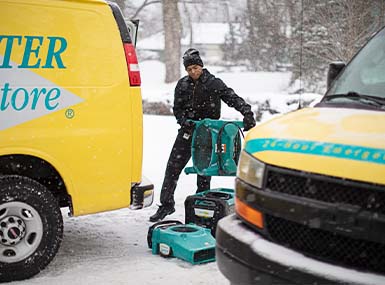
We are available to assist our clients 24/7 because we know that emergencies don't always happen during business hours. If you have experienced property damage, we are here to help. Reach out to our Hampstead team if you have any questions about how we can help you restore your home and comfort.
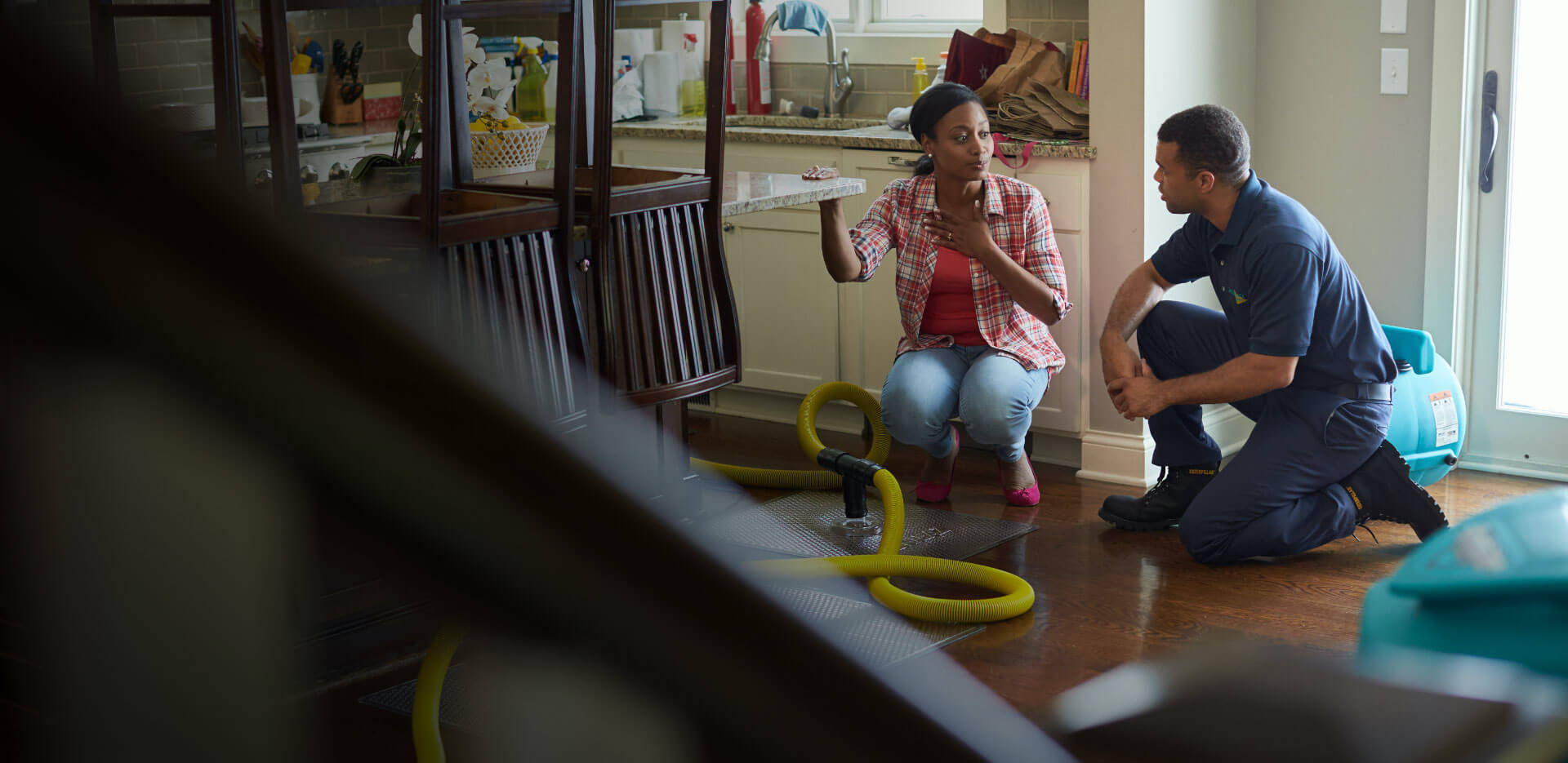
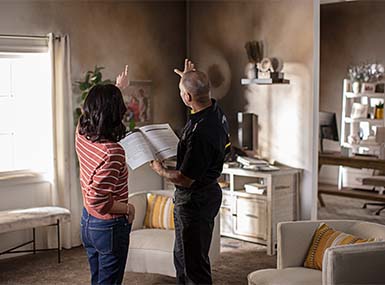
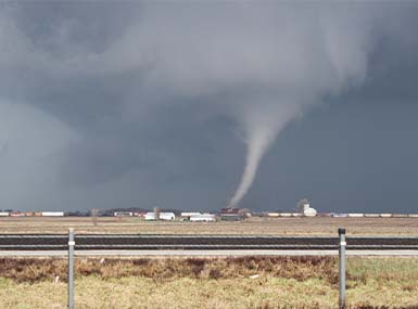
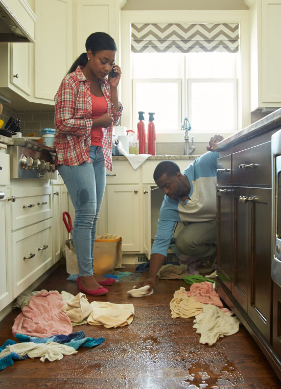
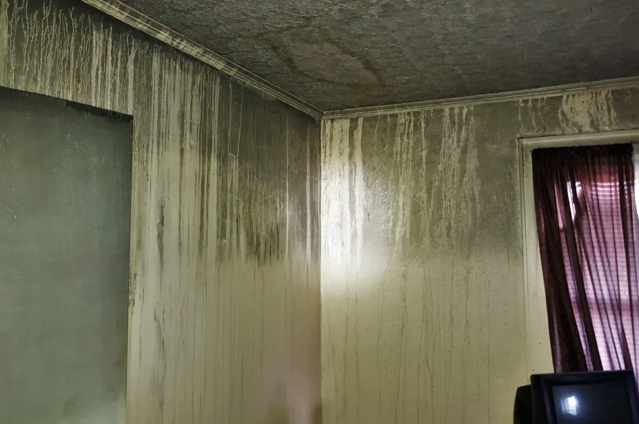
When disaster strikes your home, your family’s lives are disrupted. All you want to do is get everything back to normal as quickly as possible. ServiceMaster Restoration of Wilmington and Fayetteville is here to provide Peace of Mind® amidst the disruption. We are trained, equipped, and ready to restore your home after any disaster, from water in the bathroom to fire and smoke damage in the kitchen. We will dry and clean everything from documents to carpets to help you avoid mold problems later down the road. We handle jobs as large as your entire home or as small as a single room. ServiceMaster Restoration of Wilmington and Fayetteville has more than 50 years of experience providing customers with exceptional service in the restoration industry.
Our service area includes the following NC counties: New Hanover, Pender, Onslow, Brunswick, Columbus, Bladen, Cumberland, Robeson, Hoke and Harnett.


.2008251600258.png)
.2008251600255.png)

.2008251600265.png)
.2008251600263.png)
.2008251600262.png)
.2008251600266.png)